
Terrain Modeling
Deployment Methods For Testing and
Verification of a Planetary Landing Sensor
Package
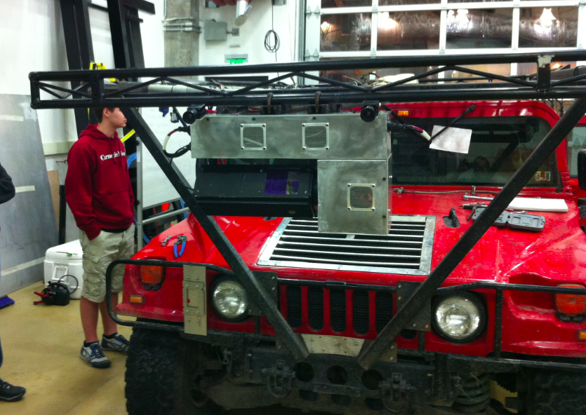

Autonomous lunar landers estimate position and orientation to land and navigate safely on the moon by registering sensor data to pre-compiled terrain models. The sensor package contains an Inertial Measurement Unit (IMU), stereo cameras, a nodding Laser Imaging and Ranging unit (LIDAR) unit, and a micro-computer, to exhibit this principle. Testing and verification of the sensor package requires collecting sensor data in a variety of platforms and terrains so that software algorithms are subjected to alternative data scenarios. This paper presents a set of methods to generate the sensor data that will be used to characterize sensor performance for navigation and landing. Sensor data is then compared to GPS data to develop qualitative metrics for data quality and algorithm effectiveness. The implementation of these methods will yield a repository of IMU and camera data to aid in the gradual refinement of the estimation algorithms.